| Namespace | http://www.opengis.net/se/2.0/raster | ||||||||||||
|
Annotations
|
|
||||||||||||
|
Diagram
|
 |
||||||||||||
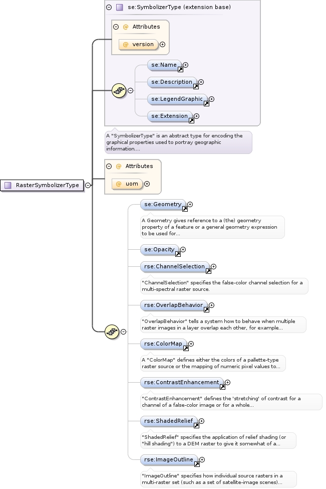
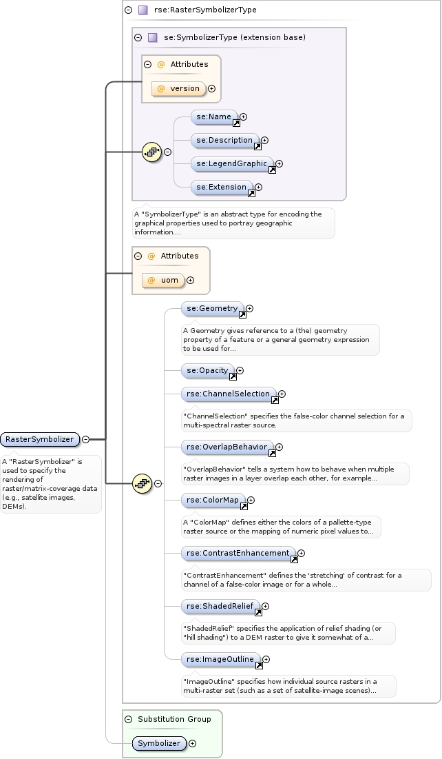
| Type | rse:RasterSymbolizerType | ||||||||||||
| Type hierarchy | |||||||||||||
|
Properties
|
|
||||||||||||
| Substitution Group Affiliation | |||||||||||||
| Model | |||||||||||||
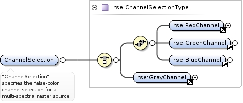
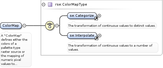
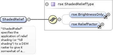
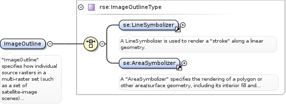
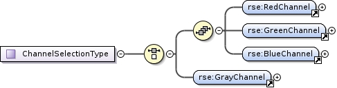
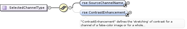
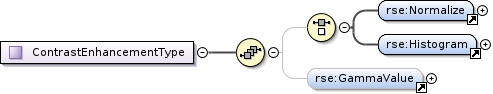
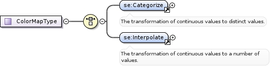
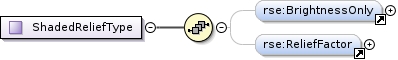
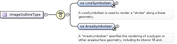
| Children | rse:ChannelSelection, rse:ColorMap, rse:ContrastEnhancement, rse:ImageOutline, rse:OverlapBehavior, rse:ShadedRelief, se:Description, se:Extension, se:Geometry, se:LegendGraphic, se:Name, se:Opacity | ||||||||||||
|
Instance
|
|
||||||||||||
|
Attributes
|
|
||||||||||||
|
Source
|
|